GTA 6 Leonard County Map
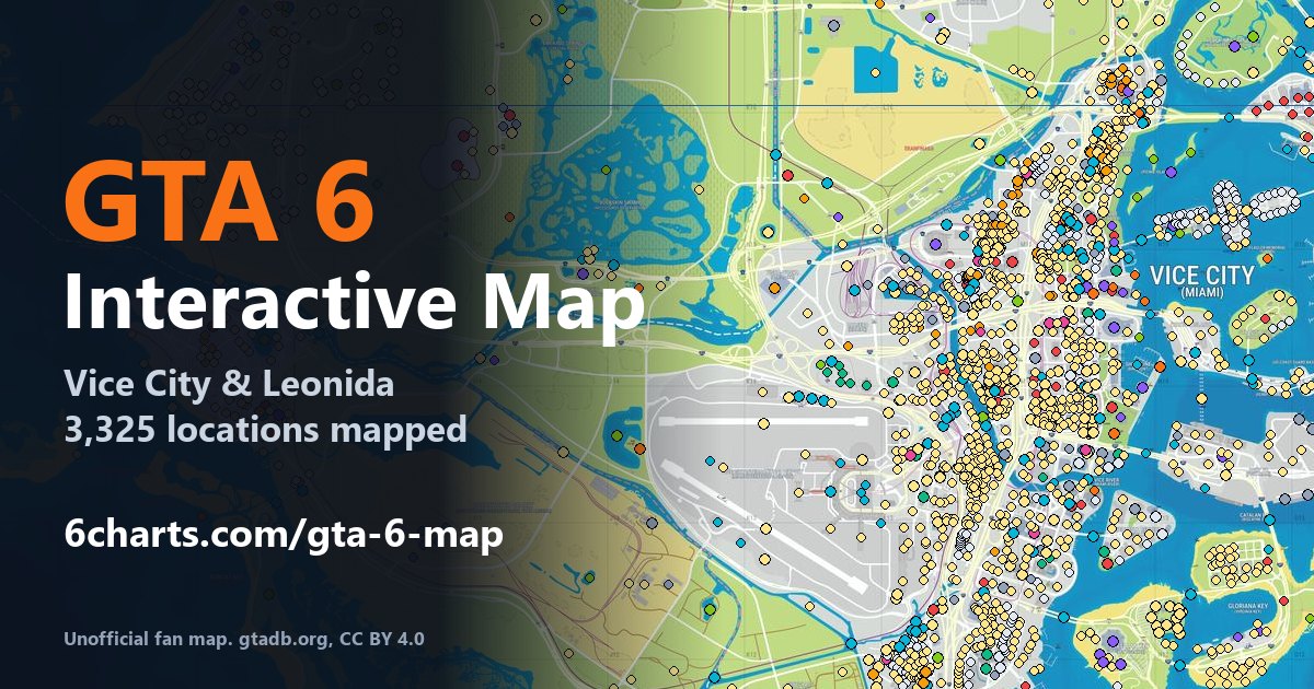
Interactive map of Leonard County in GTA 6 (Grand Theft Auto VI), with 37 mapped locations, 12 of them named and 14 matched to the real Florida location they are based on.
Leonard County Locations and Their Real-Life Counterparts
| In GTA 6 | Area | Based on (real world) |
|---|---|---|
| Lake Leonida | Leonard County | Lake Okeechobee, FL |
| Airfield | Leonard County | CJP3+W83 Immokalee, Florida (unconfirmed) |
| Canal | Leonard County | St. Lucie Canal, Florida (unconfirmed) |
| Presidential Bunker | Leonard County | Detachment Hotel, Peanut Island Park, 6500 Peanut Island Rd, Riviera Beach, FL 33404 (unconfirmed) |
| Water Tower | Leonard County | Sebring Water Tower, Ethiopia Blvd, Sebring, FL 33875 (unconfirmed) |
Other Regions
- Vice City map - 1,132 places
- Vice Beach map - 512 places
- Port Gellhorn map - 194 places
- Key Lento map - 194 places
- Hamlet map - 175 places
- Ambrosia map - 89 places
- Mariana County map - 87 places
- Kelly County map - 79 places
- Rialto Islands map - 77 places
- Capri map - 74 places
- Gellhorn International Raceway map - 64 places
- Waning Sands map - 63 places
- Watson Bay map - 61 places
- Lummox County map - 61 places
- Gloriana Key map - 52 places
- Vice-Dale County map - 50 places
- Vice City International Airport map - 43 places
- Dalton Island map - 40 places
- Catalan Key map - 34 places
- Port Vice City map - 33 places
- Leonida map - 21 places
- Bluegrass map - 18 places
- Peregrine Bay map - 16 places
- Belville map - 15 places
Unofficial fan map. Not affiliated with or endorsed by Rockstar Games or Take-Two Interactive. Map tiles and landmark data: gtadb.org and all contributors, CC BY 4.0, adapted by 6Charts.